
Starling Turns the Orbital Environment Into a Navigation Map
NASA’s FALCON experiment used sightings of satellites and debris to calculate Starling’s orbit and improve estimates for hundreds of other objects. The result points toward spacecraft swarms that can navigate and monitor traffic with less dependence on GPS or ground control.
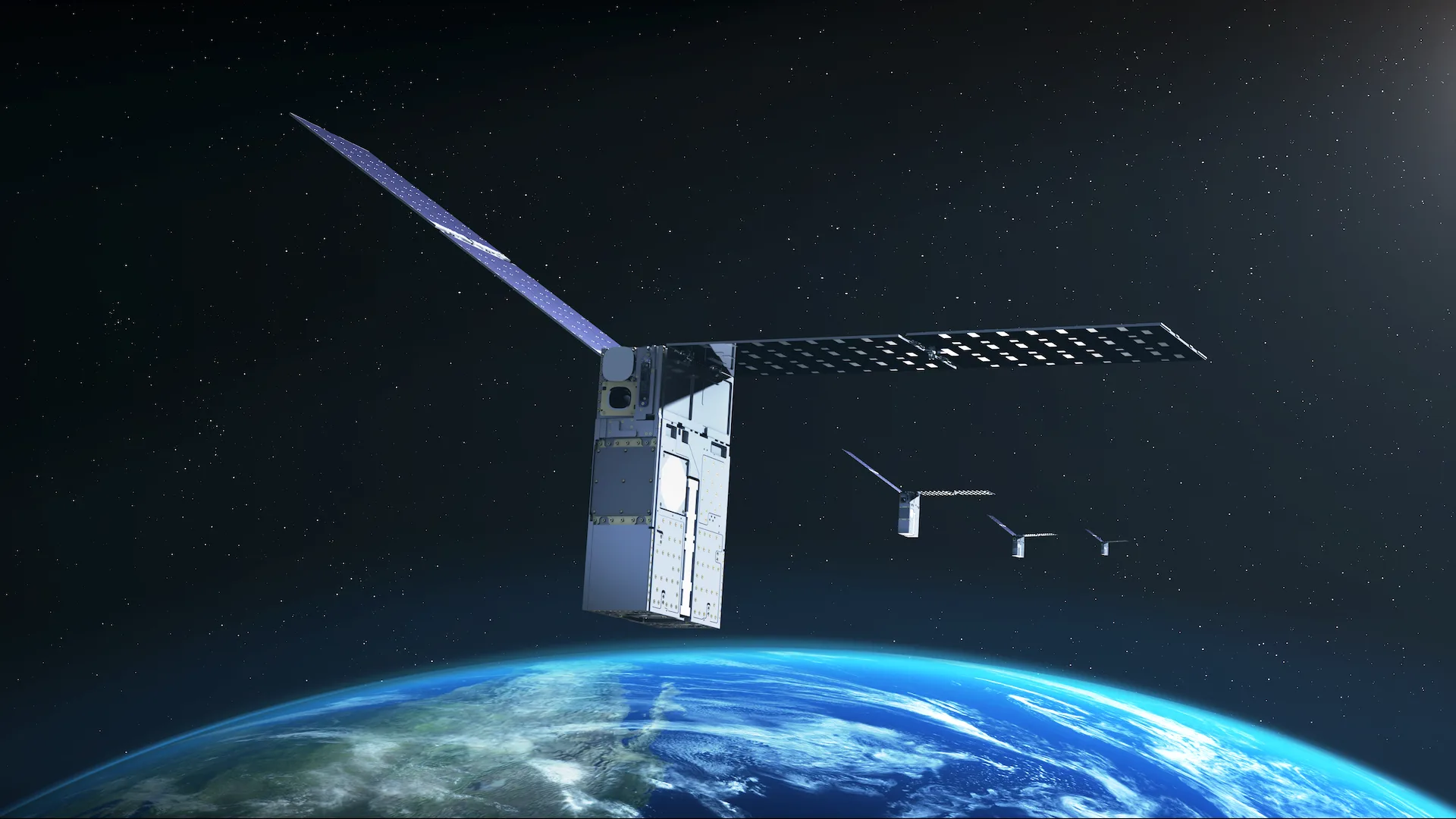
A NASA small satellite has demonstrated a different way to answer one of spaceflight’s most basic questions: where am I? Rather than depending on a conventional navigation network, the Starling spacecraft compared objects seen by its cameras with a stored orbital catalog, using the matches as reference points to calculate its own path around Earth.
NASA Blogs reported the achievement on Monday, August 17. The flight experiment, called FALCON for Fast Autonomous Lost-in-space Catalog-based Optical Navigation, combines NASA’s Starling hardware with Era-Core software and embedded algorithms developed by EraDrive, a startup that emerged from Stanford University research.
The significance lies less in any single image than in where the calculations occurred. Navigation solutions and catalog refinements were produced aboard the spacecraft, reducing the need to send observations to Earth, wait for analysts or automated ground systems to process them, and then transmit updated information back to orbit. That closed loop is a central requirement for genuinely autonomous missions.
GPS has transformed operations near Earth, but it is not a universal service extending through the solar system. Its signals are designed primarily for users around Earth and become difficult or impossible to use in lunar and deep-space environments. Missions operating farther away generally rely on radio tracking, ground antennas and carefully scheduled communications, resources that will face increasing demand as more governmental and commercial spacecraft leave Earth orbit.
FALCON sought to create another source of navigation information from equipment already carried by many satellites. Star trackers normally photograph bright stars and compare their patterns with stellar maps to determine a spacecraft’s attitude. The experiment adapted Starling’s cameras to identify human-made objects as well, including active spacecraft and orbital debris, allowing a standard orientation sensor to perform a second job.
The mission team uploaded a catalog containing about 20,000 tracked objects and their predicted trajectories. That publicly available catalog is maintained by the U.S. Department of War. Era-Core correlated camera detections with catalog entries, verified likely matches and then treated the identified objects as orbital landmarks from which Starling’s own trajectory could be estimated.
A separate part of the demonstration reversed the logic. Once Starling had an estimate of its position and had observed another object over time, FALCON could refine that object’s orbit. In effect, the spacecraft functioned simultaneously as a navigator and as a mobile space-surveillance sensor, adding measurements from a vantage point that ground-based radars and telescopes do not share.
Over three days, the system improved the known orbits of more than 200 objects without intervention by operators on Earth. NASA said the onboard catalog-update work produced better position predictions for observed objects than the starting information supplied by ground stations. The self-orbit result was also described as a first for a spacecraft navigating optically by its relative position to other tracked objects.
Those results could matter in an increasingly congested orbital environment. Collision warnings depend on predicted trajectories, and small uncertainties expand as calculations look further into the future. More timely measurements can narrow those uncertainties, distinguish a genuine threat from a harmless pass and help operators avoid unnecessary maneuvers that consume fuel and interrupt a mission.
Onboard awareness does not eliminate the need for global tracking networks. Optical sensors can be affected by lighting, viewing geometry, calibration errors and the limited portion of the sky available to a given spacecraft. Catalog-based navigation also depends on reliable initial data and robust identification: mistaking one object for another could corrupt both the satellite’s own solution and any orbit updates it generates.
The stronger long-term concept is therefore a layered system rather than a replacement for ground infrastructure. Radars, telescopes, tracking stations and autonomous satellites could contribute different observations to a shared picture. Before operational adoption, agencies and companies would need standards for data quality, cross-checking and accountability, particularly if collision-avoidance decisions were eventually made with little human involvement.
Beyond Earth orbit, autonomous navigation becomes even more consequential. Future lunar operations may involve communications relays, scientific orbiters, cargo vehicles, crewed landers and surface equipment operating at the same time. A coordinated network of GPS-independent satellites could provide local position and timing support while reducing reliance on intermittent links to Earth.
Distributed science presents another use case. Formations of small spacecraft can measure magnetic fields, plasma or radio emissions at multiple locations, but their observations are only as useful as the knowledge of where and when each measurement was taken. If the members of a swarm continually refine their relative locations, researchers can align the data more accurately and mission controllers can spend less time on routine orbit determination.
FALCON also illustrates how NASA uses flight demonstrations to move university research toward commercial products. Work that began under a University SmallSat Technology Partnerships project evolved into EraDrive, which is now seeking broader markets for Era-Core and related hardware. Starling supplied the difficult proving ground that simulations cannot fully reproduce: real images, imperfect measurements and changing orbital conditions.
The next test will extend the idea from one autonomous observer to a cooperative group. Later this year, Starling’s four spacecraft, launched in 2023, are expected to share tracking observations and collectively improve their position estimates. Success would show that autonomy can be distributed across a swarm, so that each member contributes to the navigation resilience of the others.
NASA’s Ames Research Center in Silicon Valley leads Starling, while the agency’s Small Spacecraft and Distributed Systems program funds and manages the mission. FALCON remains a technology demonstration rather than a complete operational traffic-management service, but it establishes an important premise: spacecraft can use the moving population around them not merely as hazards to avoid, but as reference points for navigating space.