
NASA model sharpens outlook for Thwaites Glacier
A study that treats the glacier’s grounding region as a dynamic zone rather than a fixed line indicates that Thwaites could add more to sea-level rise by 2100 than some earlier estimates suggest.
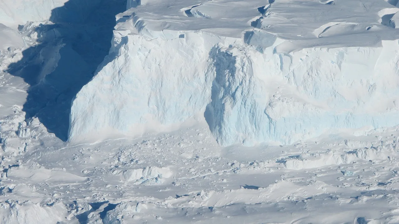
A revised approach to modeling Antarctica’s Thwaites Glacier suggests its contribution to global sea-level rise by the end of the century could exceed some previous estimates. In some computer simulations, the modeled contribution reached as much as twice the level in current projections, a result that highlights a wider range of possibilities rather than establishing a single outcome for 2100.
NASA Blogs reported the findings on Tuesday, October 20. The underlying computer model was developed by NASA’s Jet Propulsion Laboratory in Southern California in collaboration with the University of California, Irvine, and Dartmouth College.
The peer-reviewed study appeared in Nature Communications on October 12. Its central innovation concerns the place where grounded glacial ice transitions into ice supported by ocean water, an area whose behavior has made long-range estimates for Thwaites particularly difficult.
Many existing ice-sheet models represent that transition with a grounding line. On one side of this mathematical boundary, the ice rests on land; on the other, it floats. The distinction is useful computationally, but it can omit the more complicated movement of seawater beneath ice close to the transition.
The new model instead represents a grounding zone. In this broader region, seawater can travel several miles beneath ice that remains grounded. Tides can lift the ice during their regular cycles, repeatedly changing how firmly it presses against the bed below.
That process gives comparatively warm seawater access to the underside of grounded ice. The added heat can accelerate basal melting and promote instability, producing a different retreat pattern from one calculated with a sharp, immovable grounding line.
The researchers tested the revised physics against the glacier’s observed history rather than relying only on forward-looking simulations. They used satellite records extending back to the 1990s and examined how closely the model reproduced the retreat already documented from space.
According to the study summary, including grounding zones allowed the model to match those historical satellite observations four times more closely than models that leave out the process. This retrospective performance is important because a model’s ability to reconstruct known change offers a practical test of whether its internal representation of glacier dynamics is credible.
The comparison does not eliminate uncertainty about the coming decades. Conditions through the end of the century cannot be observed in advance, and the finding that Thwaites produced up to twice the projected contribution emerged only in some simulations. The study therefore should not be read as a declaration that sea-level projections have uniformly doubled.
Instead, the work identifies a physical mechanism that may have been simplified too aggressively in earlier calculations. Treating the grounding region as an active, shifting zone changes how much ocean heat reaches the glacier and how the model calculates the loss of support as the ice retreats.
Thwaites already makes a major contribution to global sea-level rise, yet its long-term influence remains challenging to quantify. The interaction among tides, seawater intrusion, grounded ice, and the floating portion of the glacier creates feedbacks that cannot be fully captured if the transition is reduced to a single boundary.
The study’s value therefore lies in both its projections and its validation method. A larger simulated sea-level contribution attracts attention, but the fourfold improvement in matching records from the satellite era is the key evidence offered for the model’s more detailed treatment of the glacier-ocean interface.
Researchers believe this framework could provide more dependable information about glacier dynamics. Better-grounded projections would be especially relevant to coastal regions most exposed to higher seas, although the NASA account did not present a new uniform forecast for individual coastlines or describe a final outcome beyond the range produced by the simulations.
The findings reinforce the importance of how models define boundaries in the physical world. At Thwaites, what appears on a diagram as a narrow dividing line may in reality be a broad and mobile zone through which tides and seawater influence ice still attached to the bed. Accounting for that complexity produced a closer reconstruction of past retreat and a potentially higher range of future sea-level contributions.